File:Screen Shot 2021-05-13 at 9.15.54 AM.png
From Wooljersey

Size of this preview: 717 × 600 pixels. Other resolution: 1,960 × 1,640 pixels.
Original file (1,960 × 1,640 pixels, file size: 4.72 MB, MIME type: image/png)
Summary
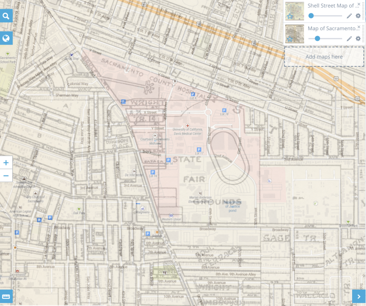
This 1938 street map shows a race track in a State Fair Grounds in the Oak Park neighborhood of Sacramento. It's not clear that it's the same track. No period map is available for the location.
File history
Click on a date/time to view the file as it appeared at that time.
| Date/Time | Thumbnail | Dimensions | User | Comment | |
|---|---|---|---|---|---|
| current | 16:12, 5 January 2022 | | 1,960 × 1,640 (4.72 MB) | Morgan (talk | contribs) | [https://www.georeferencer.com/compare#109032242371 This 1938 street map] shows a race track in a State Fair Grounds in the Oak Park neighborhood of Sacramento. It's not clear that it's the same track. No period map is available for the location. Sacramento (Oak Park) outdoor track |
You cannot overwrite this file.
File usage
The following page uses this file: