A Short But Picturesque Ride Through Jack Hayes Canyon - The San Francisco Examiner - Saturday, June 01, 1895
This is one of a series of articles describing regional bicycle rides around the San Francisco Bay area, illustrated by C. E. Tebbs. Some are transcribed on this site, the rest are waiting transcription on newspapers.com. - MF
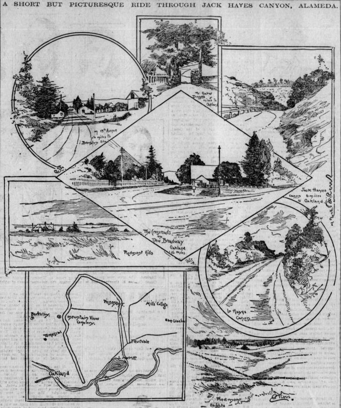
WHEN Oakland cyclists wish to vary the monotony of the level road to Haywards they strike off through the Jack Hayes canyon, and in a ride of some ten miles encounter every possible character of road and scenery, running the gamut from level bitumen to mountainous macadam, while there are views of the Golden Gate, the ocean, quiet pastoral scenes and heavily wooded canyons.
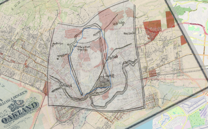
Starting from Broadway, the main street in Oakland, ride out that thoroughfare, following the electric car tracks to the crossroads beyond the college; then, taking the road to the right, out past Fabiola to within one block of the gate of Mountain View Cemetery.
The road turns abruptly to the right here down a slight incline, and a furlong farther on bears to the left, skirting the cemetery fence. The road is up grade for a quarter-mile, but may be ridden by the majority of tourists.
At the apex of this hill many fine views may be had of the Golden Gate, with occasional glimpses of Lake Merritt nestling at the base of the foothills.
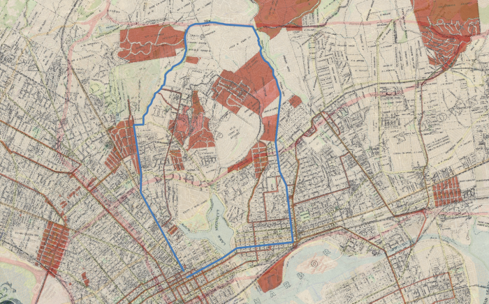
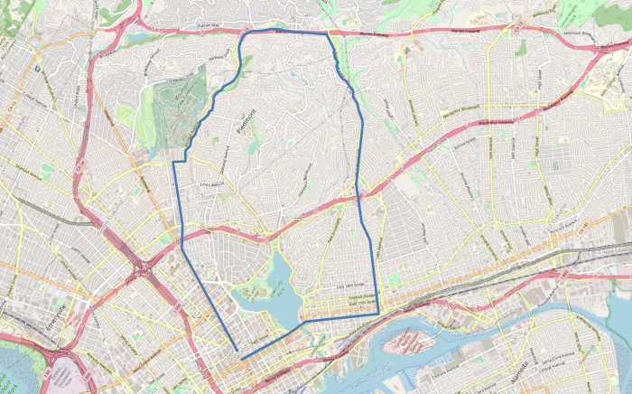
Past the entrance to Blair's Park and out Vernon avenue the rider strikes at once into the canyon, not turning to the right unless he wishes to take the shorter ride about the Piedmont district.
The road for several hundred yards is up hill, then a long, level stretch is encountered, the surface being in splendid order at this season.
The road again has an upward tendency for half a mile, which brings one to its highest elevation and with the Jack Hayes canyon stretched out before the rider's gaze.
Starting down hill past the stone gate of the Dingee demesne the road passes through rows of tall eucalyptus trees, and, being of an adobe nature, is not in good order, owing to the rains of winter, the only part of the road up this point which is not good riding.
Another smooth stretch and the adobe is again encountered, making riding unpleasant for a short distance down a slight grade to the turn in the road marked by a heap of weather-beaten, moss-grown rocks. The rider keeps on to the right, and in a short distance a magnificent panorama is stretched out at his feet.
The road winds its way around the edge of another deep and heavily wooded canyon, and affords views of Alameda and the country to the south, with San Francisco in the extreme distance.
After leaving the road about the canyon, which affords excellent riding, the surface rapidly becomes rough, which necessitates careful riding for the next mile.
Suddenly the surface changes and the rider finds himself spinning over a broad, smooth road, down which he may coast with impunity. This road, which proves to be Thirteenth avenue, leads directly into Oakland, within two blocks of Brooklyn station. The ride is not a long one, but its variety appeals to the cyclist who has had a lot of riding through a flat country.


